Photo credits
Every photo on Flowercost is free for commercial use: CC0 1.0 or public domain files from Wikimedia Commons, most first published on Unsplash. Neither needs credit, but we credit each photographer anyway.
Photos are illustrative. Each one shows the flower type, never the store’s actual bouquet, which is why every tile says “Representative photo.” We never use retailer product photos.
Shop owners on Local florists can pick photos for their listing only from this same library (the files under “Page and occasion photos” below). They appear captioned “Representative photo” with the photographer’s credit, because none shows that shop or its work. Owners can’t link or upload other photos.
Bouquet tiles (38 photos)
Roses
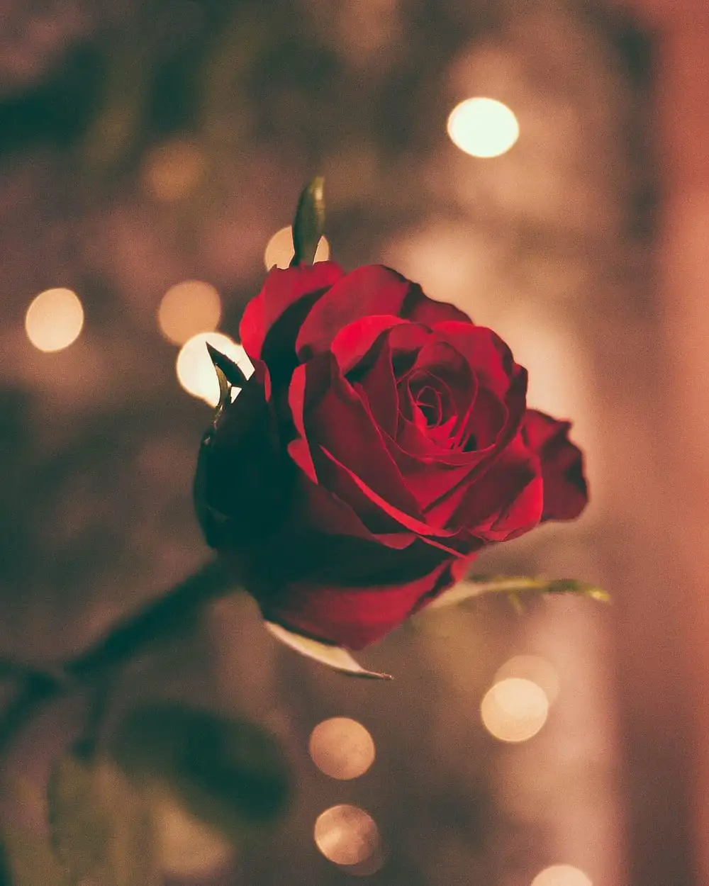
Jamie Street. A red rose against warm bokeh lights.
License: CC0 1.0. Source: Wikimedia Commons, originally on Unsplash.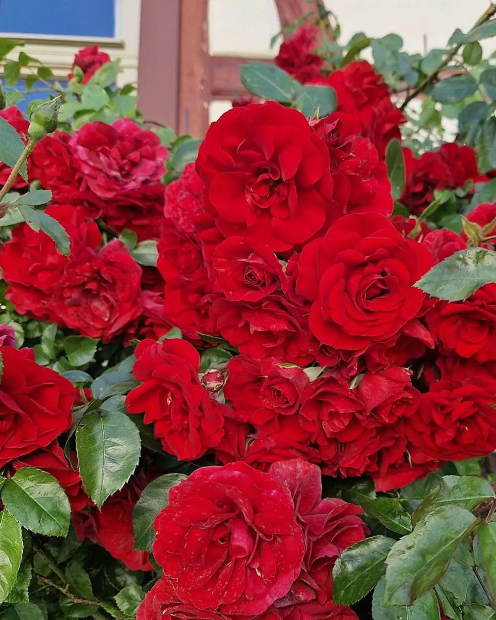
Gerda Arendt. A mass of red roses.
License: CC0 1.0. Source: Wikimedia Commons.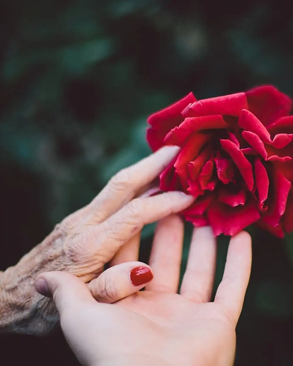
Jake Thacker. A hand touching a red rose.
License: CC0 1.0. Source: Wikimedia Commons, originally on Unsplash.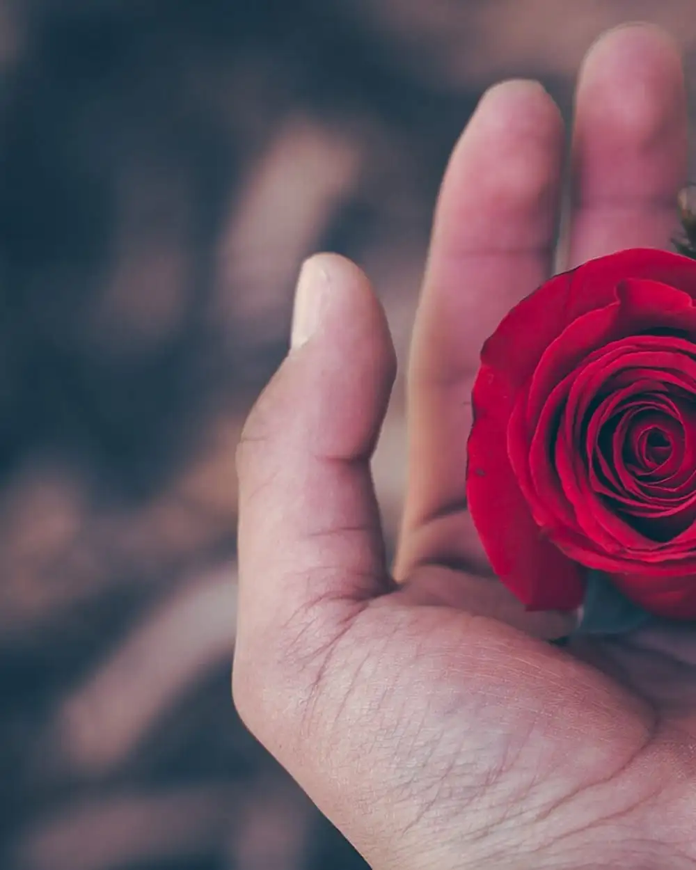
Diego PH. A red rose held in an open hand.
License: CC0 1.0. Source: Wikimedia Commons, originally on Unsplash.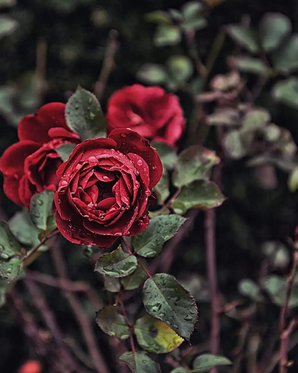
Daniil Kuželev. Dark red roses among leaves.
License: CC0 1.0. Source: Wikimedia Commons, originally on Unsplash.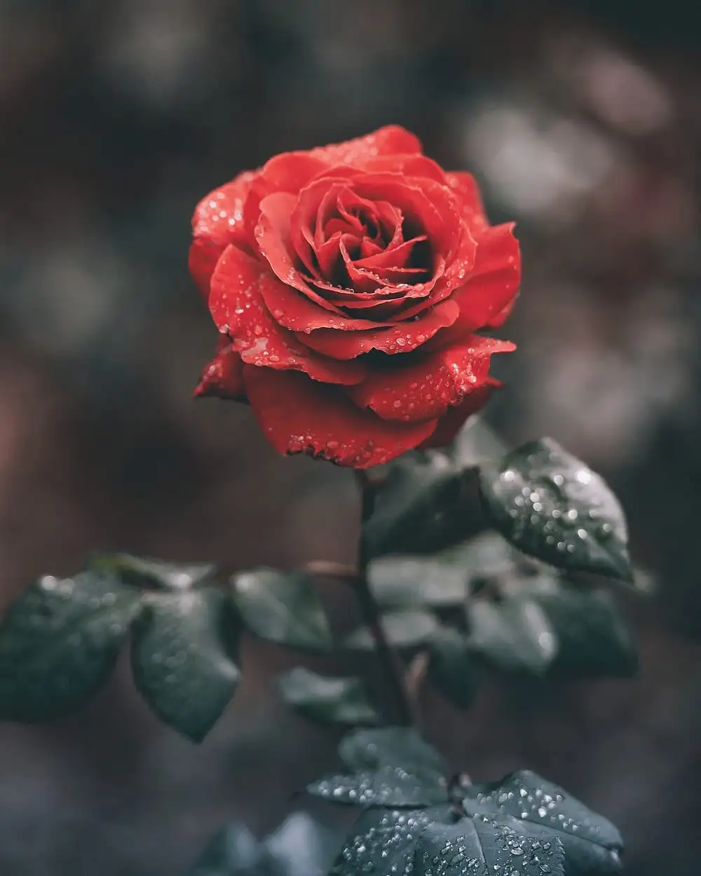
Ameen Fahmy. A single wet red rose.
License: CC0 1.0. Source: Wikimedia Commons, originally on Unsplash.
Tulips
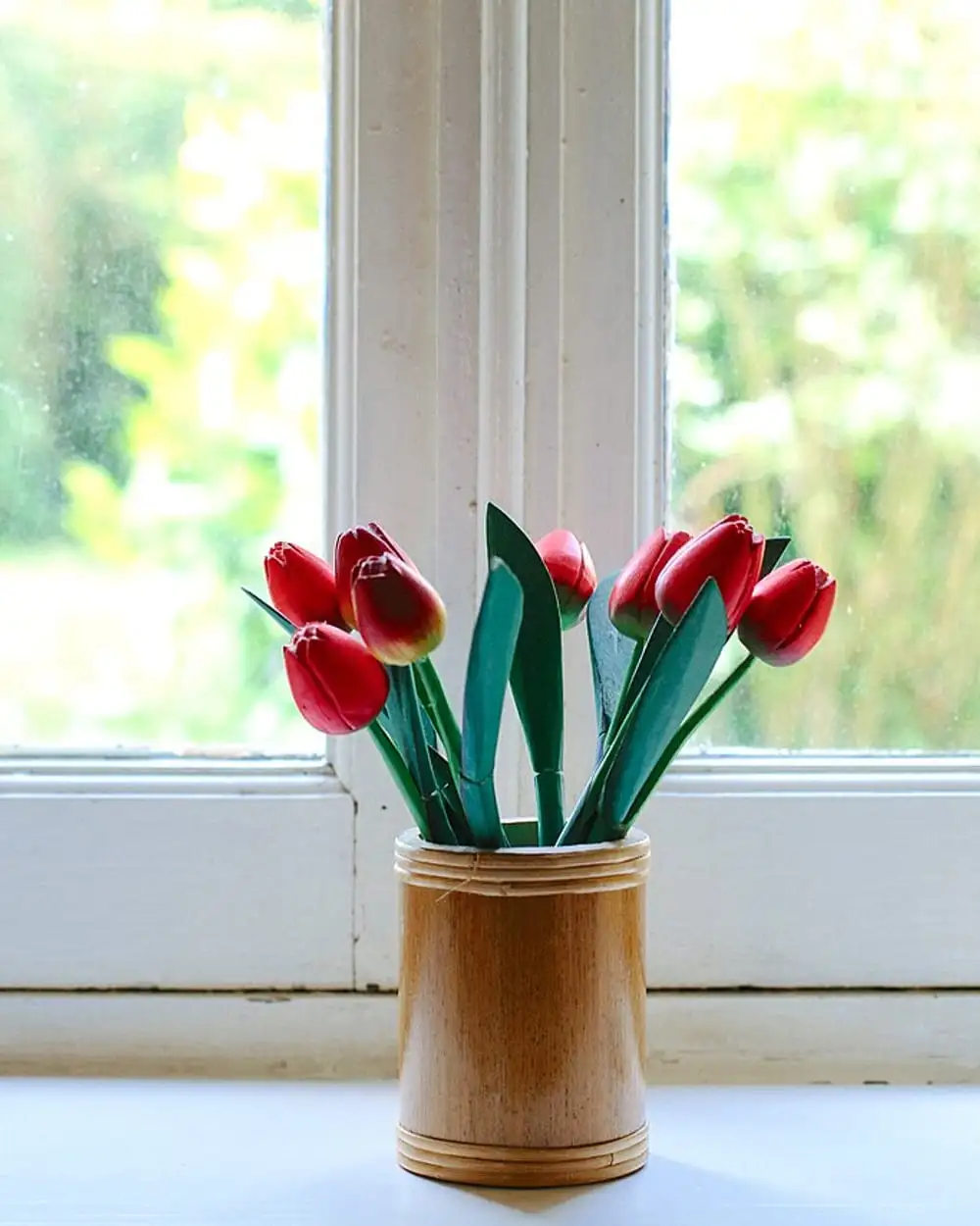
Colin Maynard. Red tulips in a pot by a window.
License: CC0 1.0. Source: Wikimedia Commons, originally on Unsplash.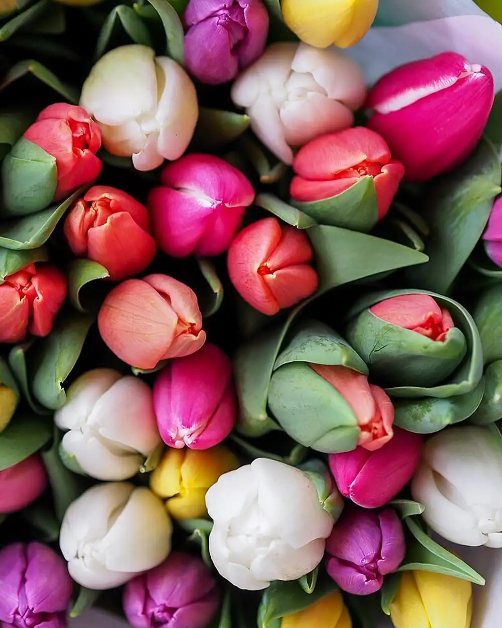
Gábor Juhász. A bouquet of mixed-color tulips.
License: CC0 1.0. Source: Wikimedia Commons, originally on Unsplash.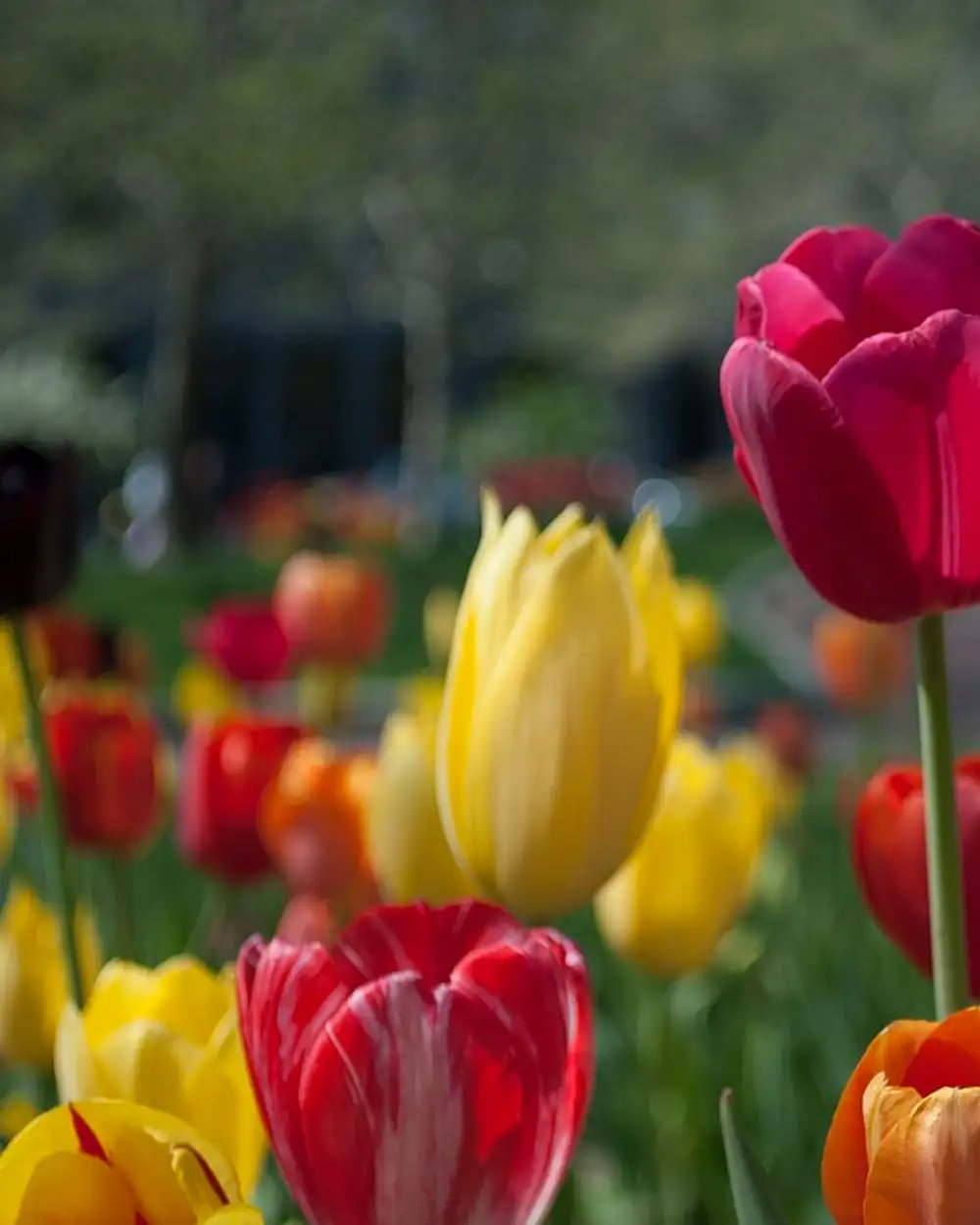
www.Pixel.la Free Stock Photos. Red, yellow and orange tulips.
License: CC0 1.0. Source: Wikimedia Commons.
Sunflowers
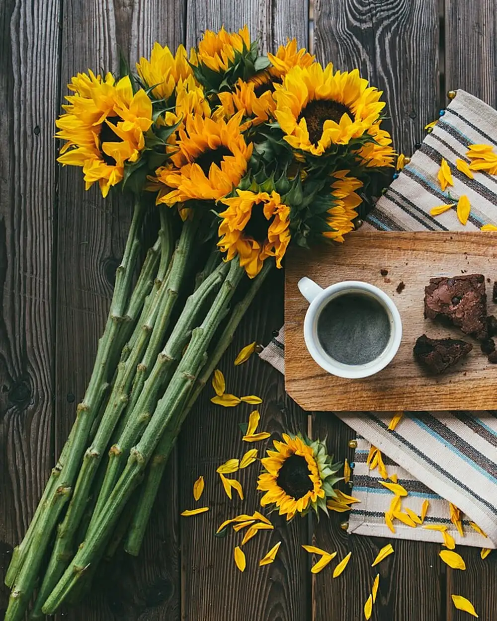
Alisa Anton. Sunflowers on a wooden table.
License: CC0 1.0. Source: Wikimedia Commons.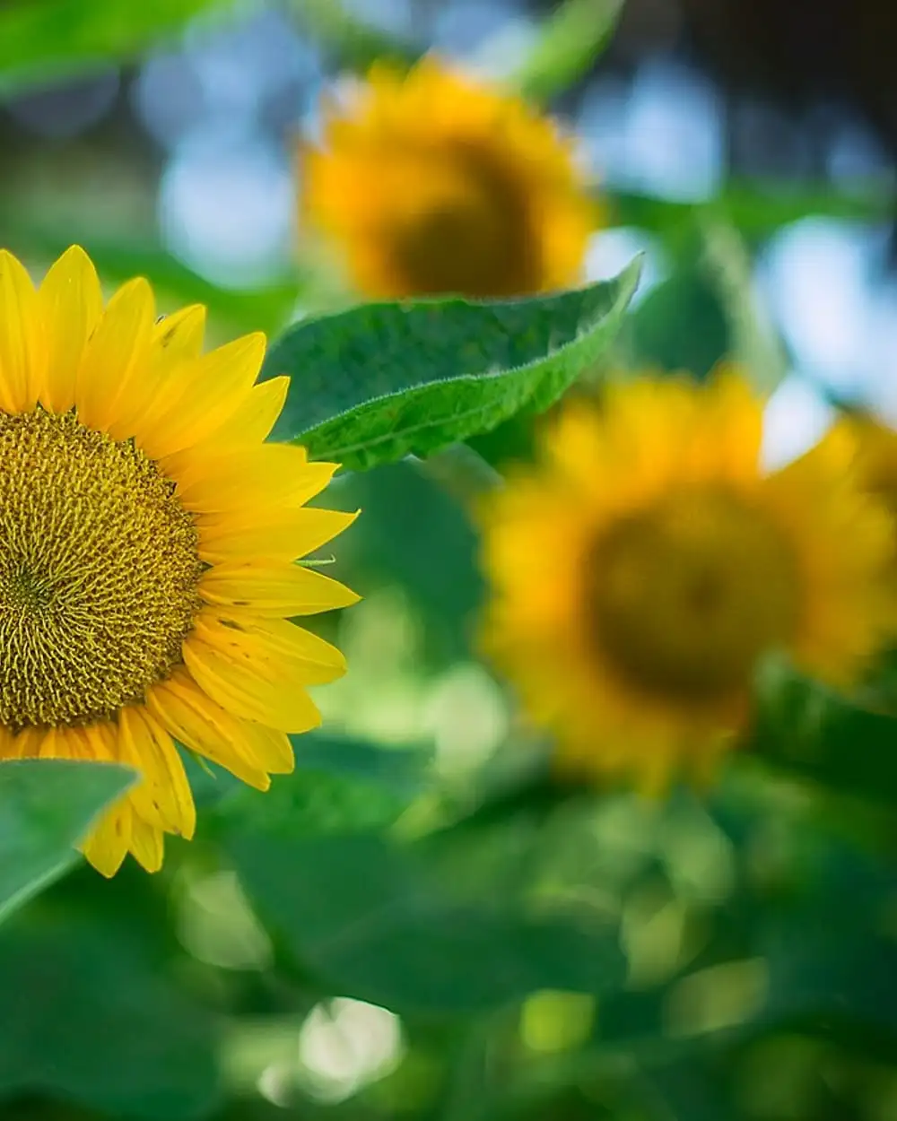
Ryan Waxberg. Sunflowers in bright light.
License: CC0 1.0. Source: Wikimedia Commons, originally on Unsplash.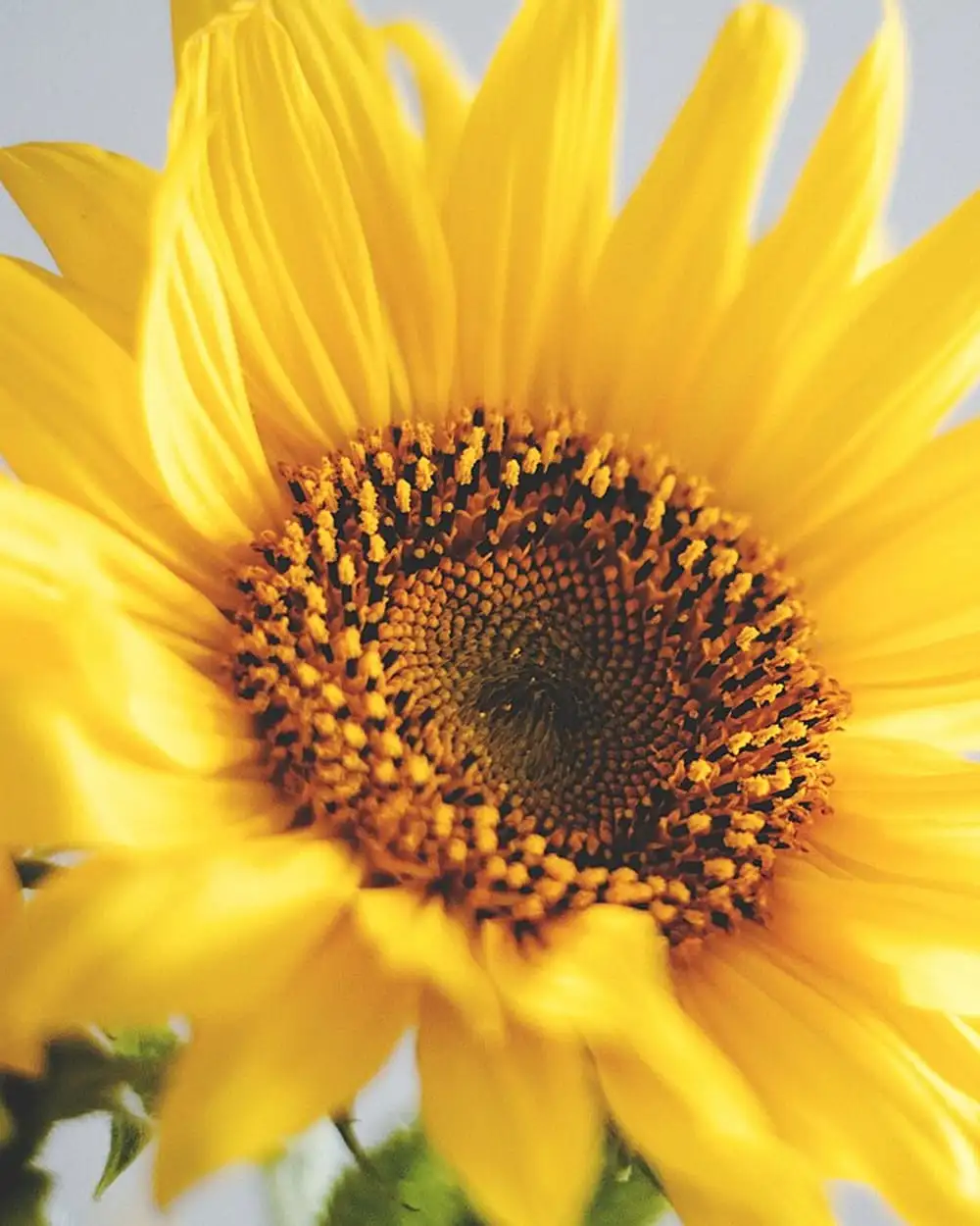
Olia Gozha. A bright yellow sunflower.
License: CC0 1.0. Source: Wikimedia Commons, originally on Unsplash.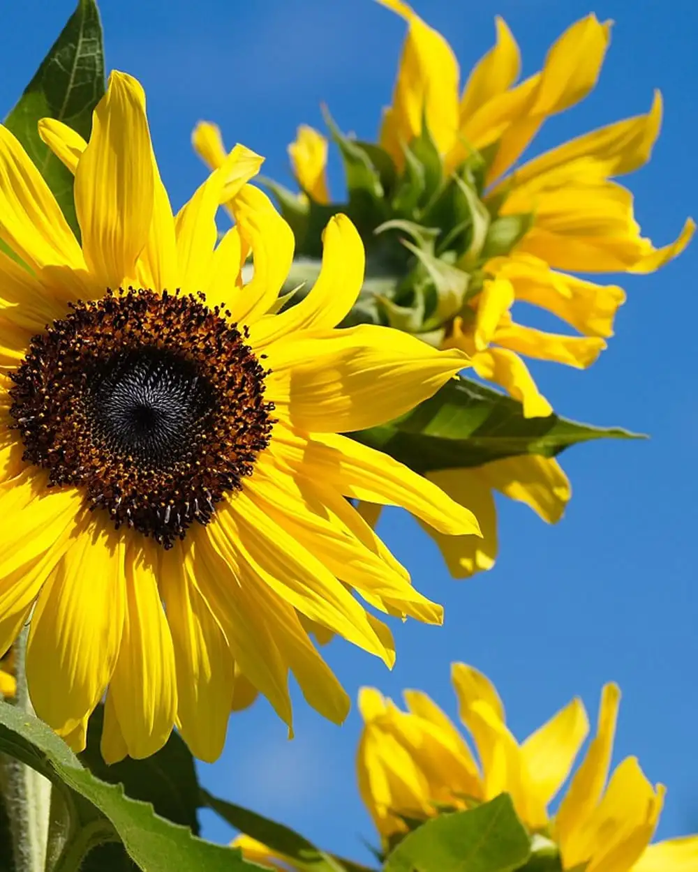
Stanislav Štajer. Sunflowers against a blue sky.
License: CC0 1.0. Source: Wikimedia Commons.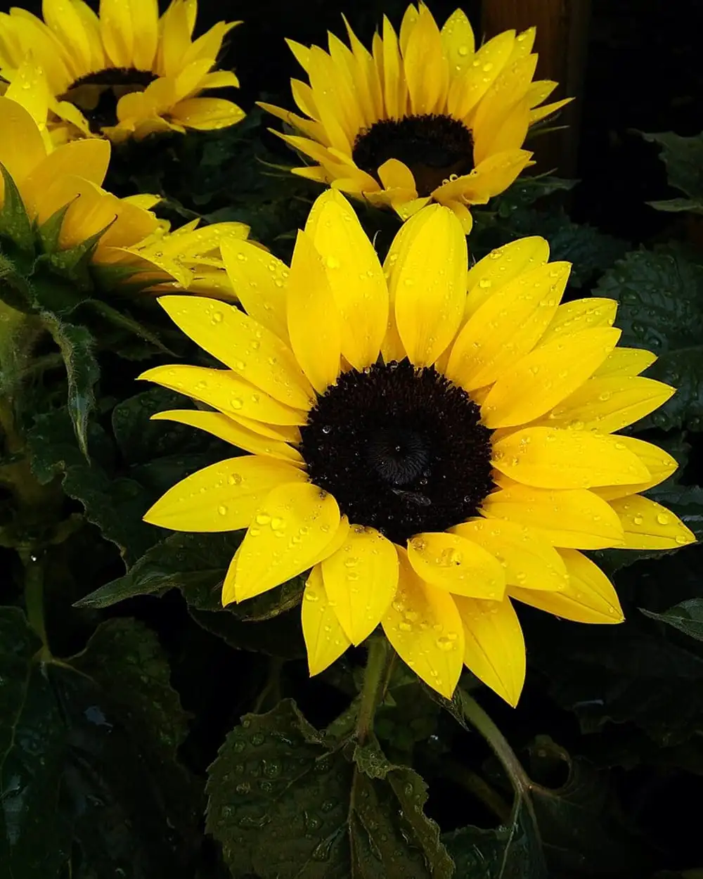
Mark Götz. Sunflowers in bloom.
License: CC0 1.0. Source: Wikimedia Commons.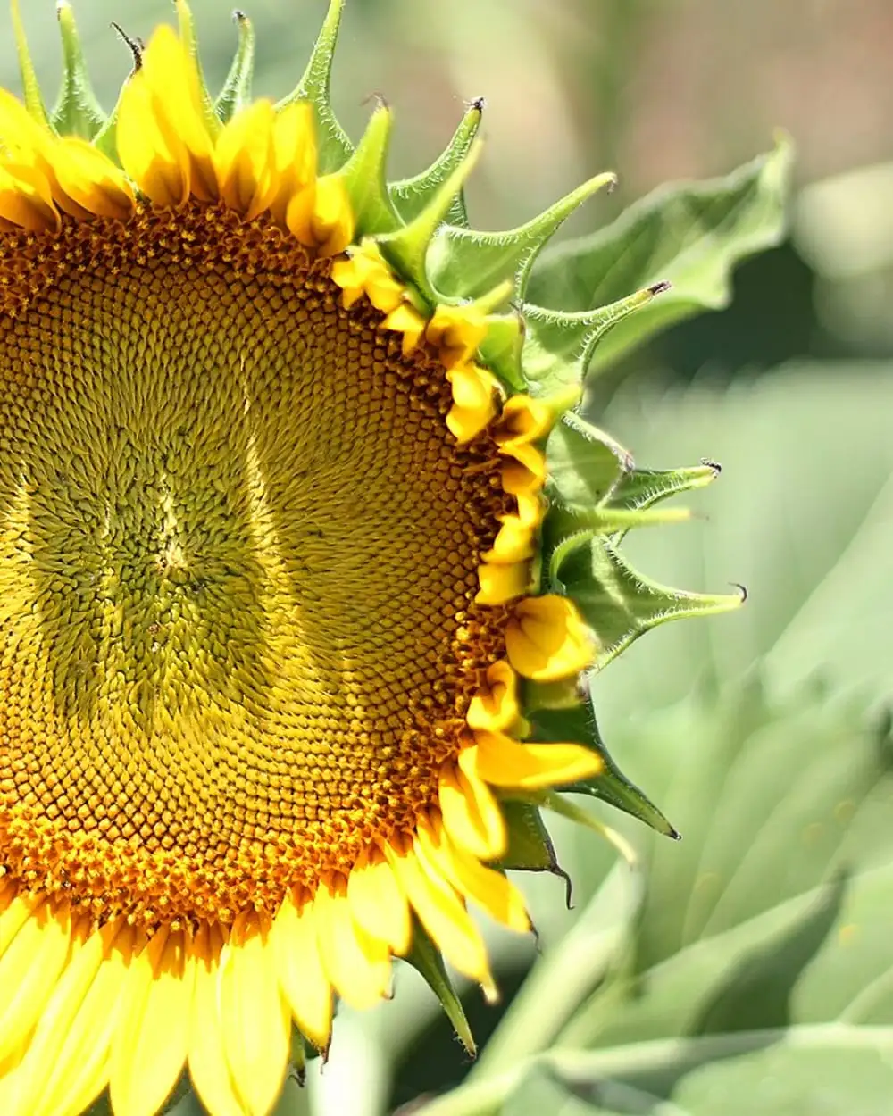
Morgan Sessions. A sunflower close up.
License: CC0 1.0. Source: Wikimedia Commons, originally on Unsplash.
Lilies
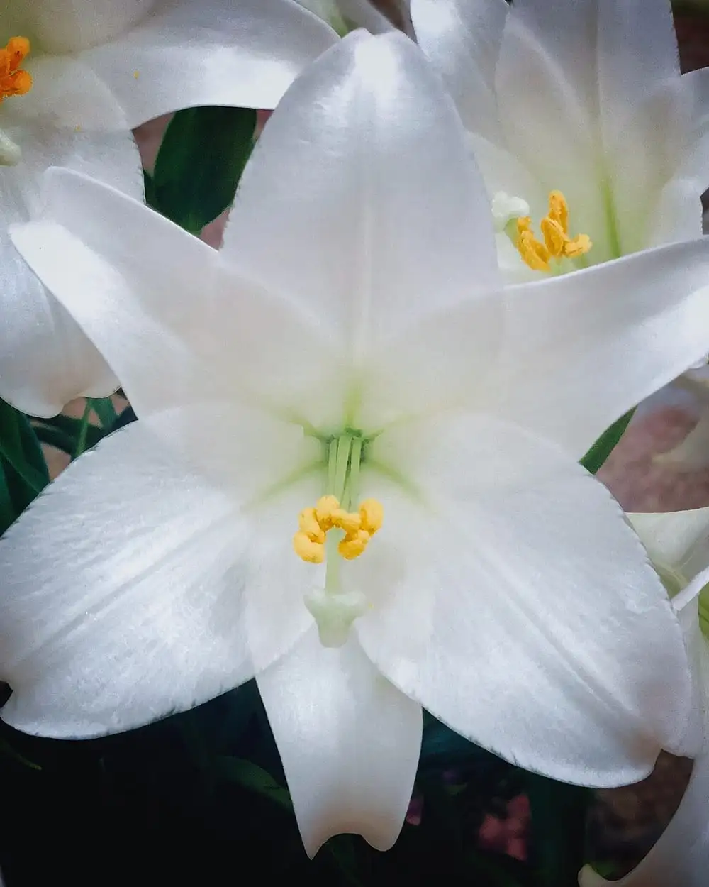
Dao Hoang Duong. White lilies close up.
License: CC0 1.0. Source: Wikimedia Commons.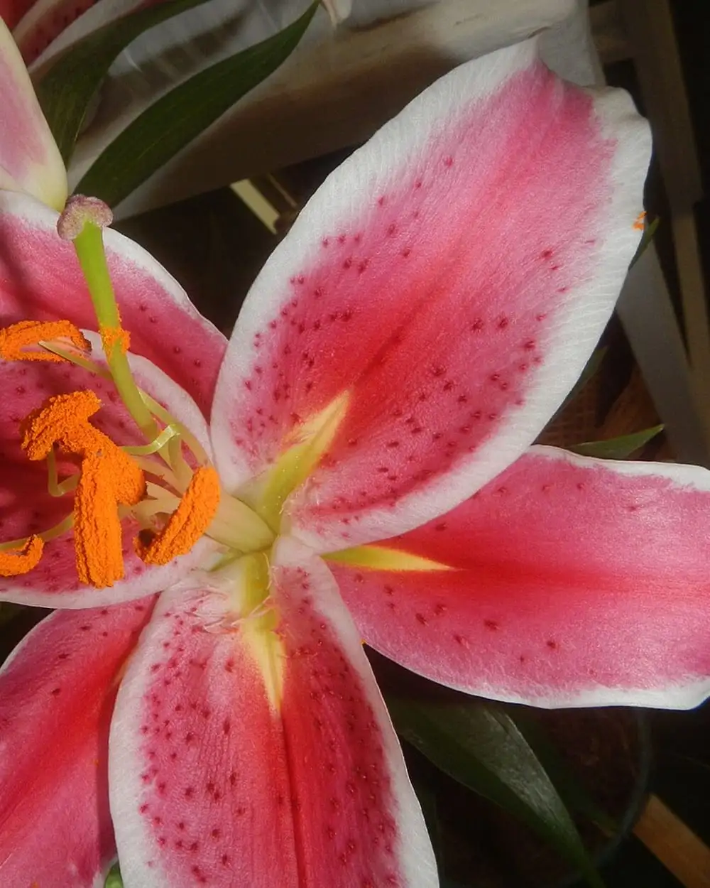
Judgefloro. A pink stargazer lily.
License: CC0 1.0. Source: Wikimedia Commons.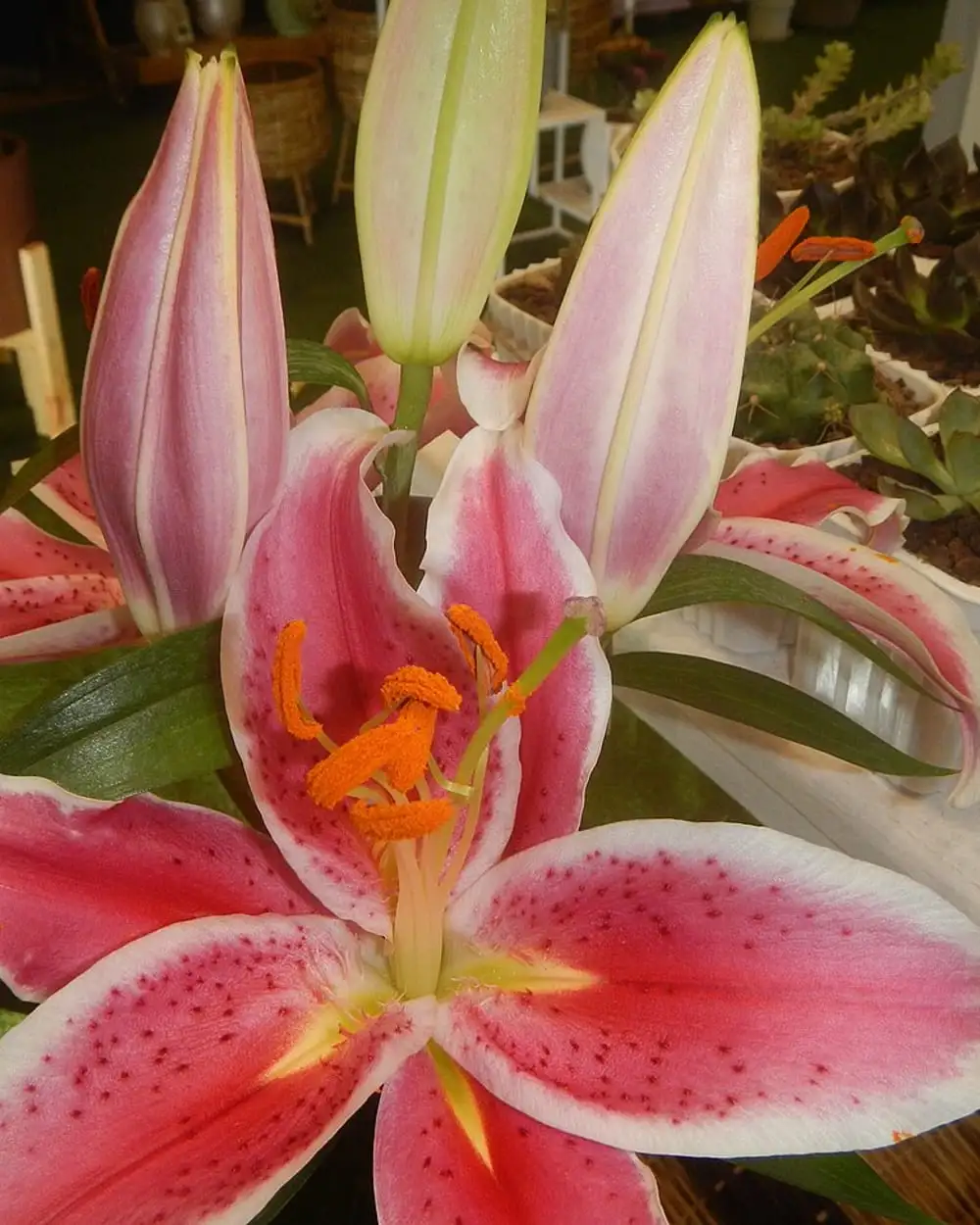
Judgefloro. Pink lilies in bloom.
License: CC0 1.0. Source: Wikimedia Commons.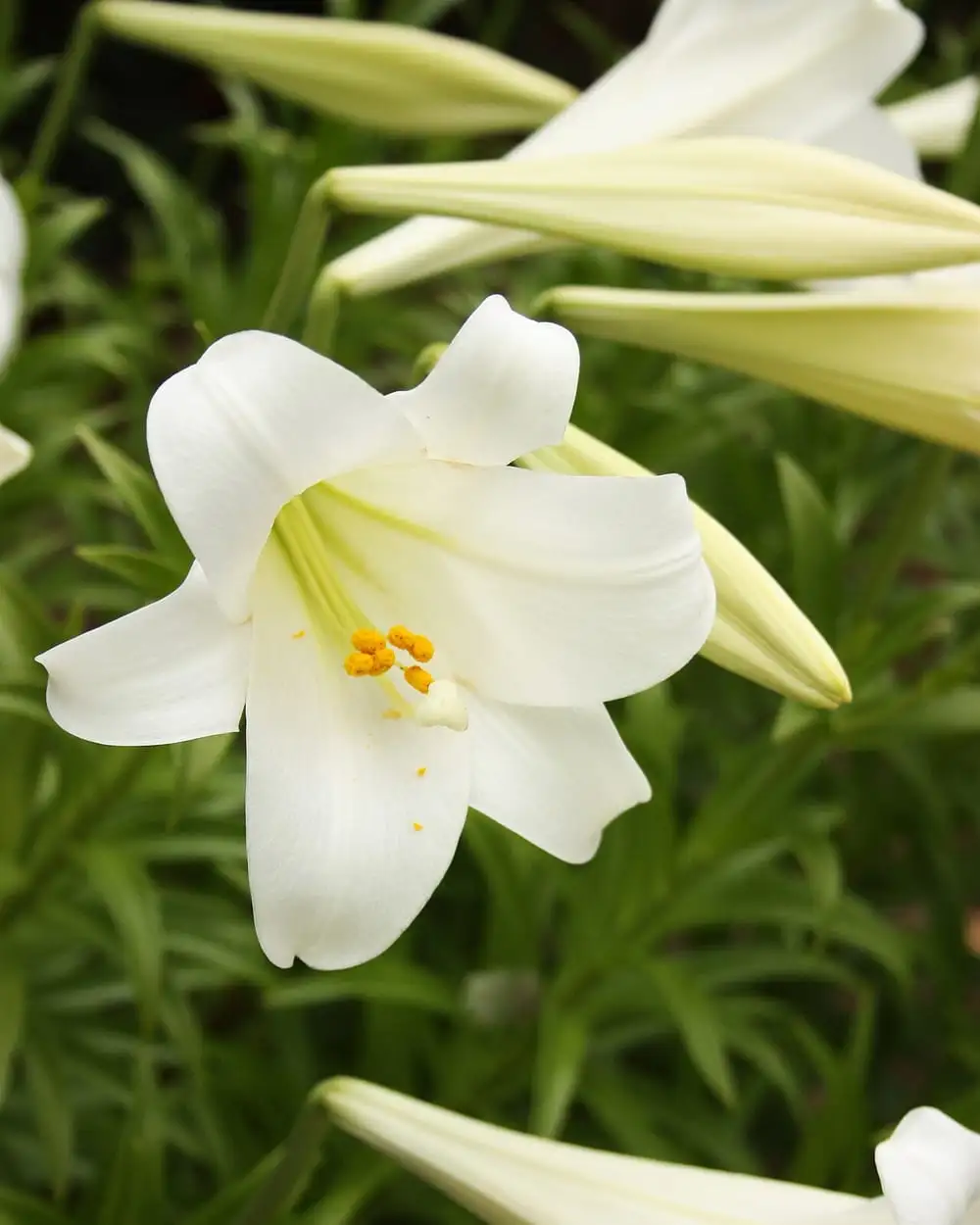
Alabama Extension. White lilies in bloom.
License: CC0 1.0. Source: Wikimedia Commons.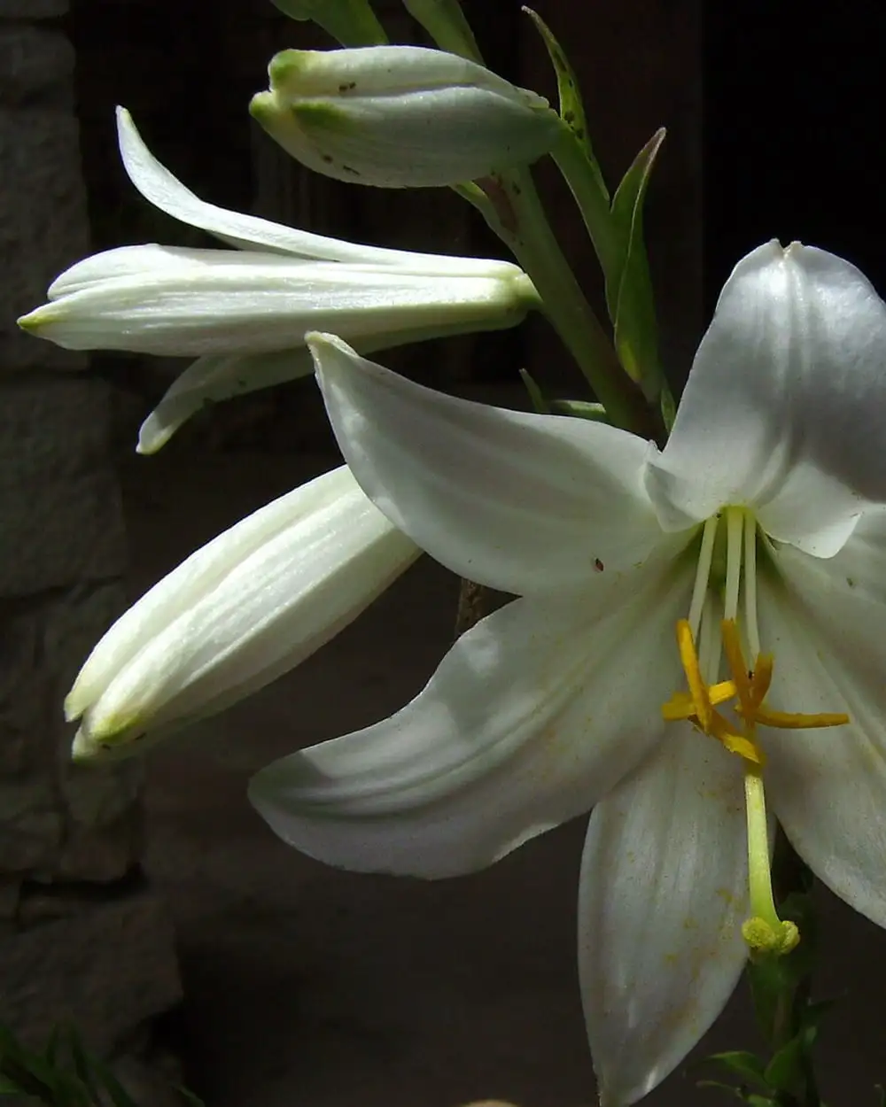
Victor M. Vicente Selvas. A white lily on a dark background.
License: Public domain. Source: Wikimedia Commons.
Peonies
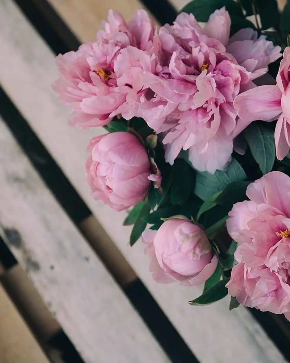
Alisa Anton. Pink peonies on a wooden table.
License: CC0 1.0. Source: Wikimedia Commons, originally on Unsplash.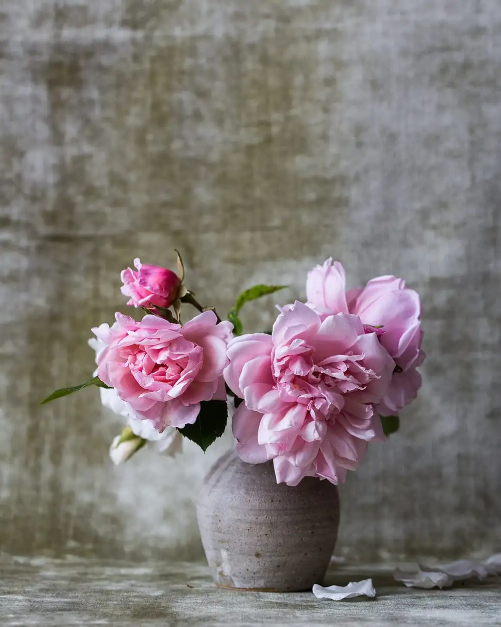
Alexandra Seinet. Peonies in a vase.
License: CC0 1.0. Source: Wikimedia Commons, originally on Unsplash.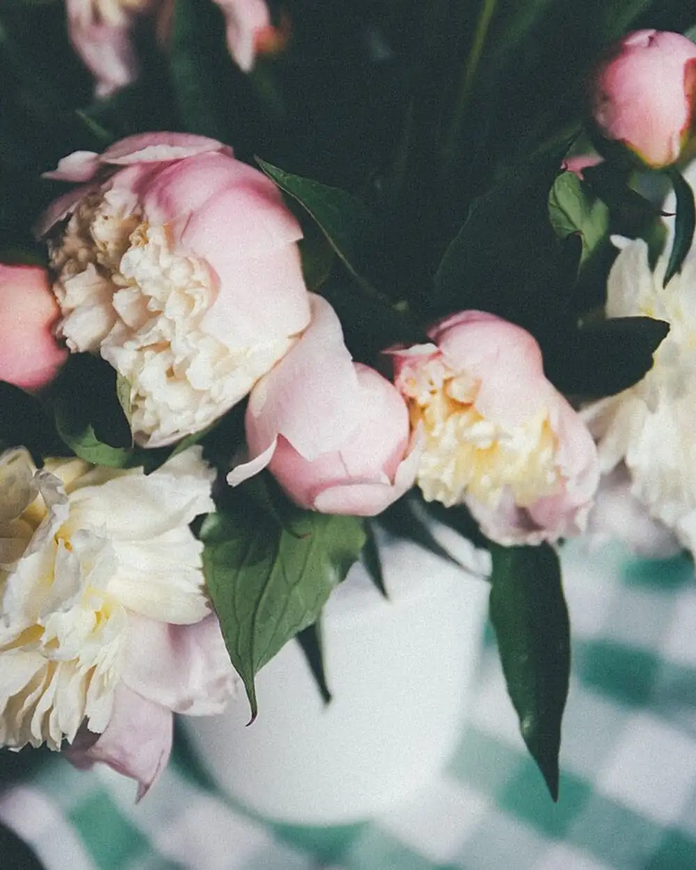
Alisa Anton. White and pink peonies.
License: CC0 1.0. Source: Wikimedia Commons, originally on Unsplash.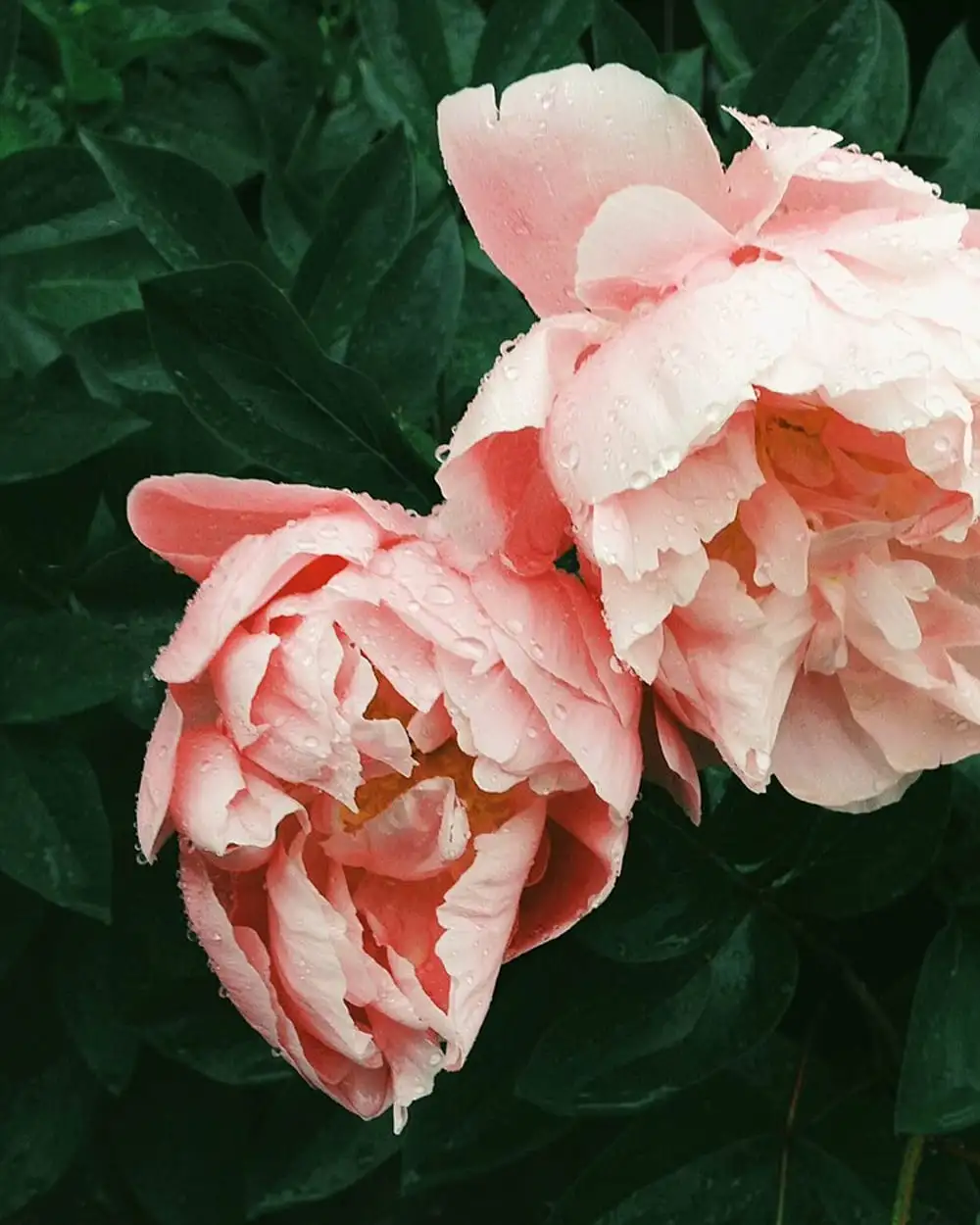
Kristine Weilert. Coral peonies.
License: CC0 1.0. Source: Wikimedia Commons, originally on Unsplash.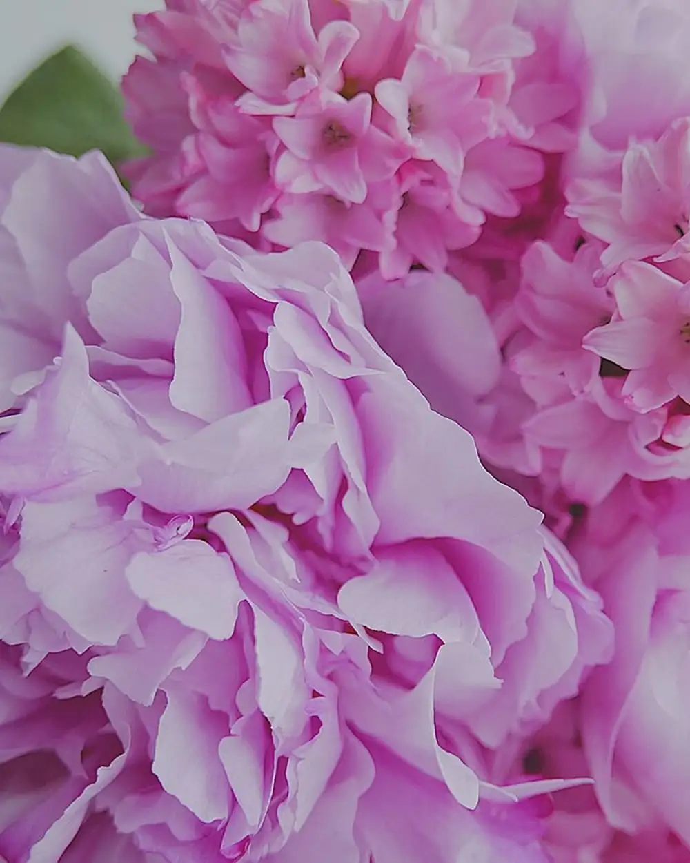
Irina. Soft pink peonies close up.
License: CC0 1.0. Source: Wikimedia Commons, originally on Unsplash.
Orchids
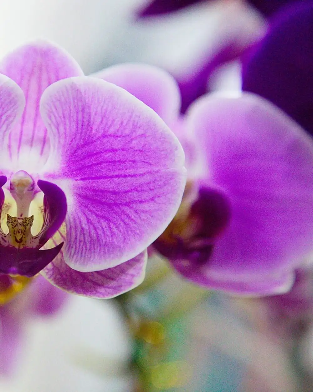
Le Anh Tuan. A purple phalaenopsis orchid.
License: Public domain. Source: Wikimedia Commons.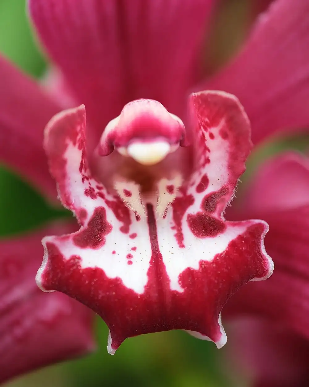
Pseudopanax at English Wikipedia. A red cymbidium orchid.
License: Public domain. Source: Wikimedia Commons.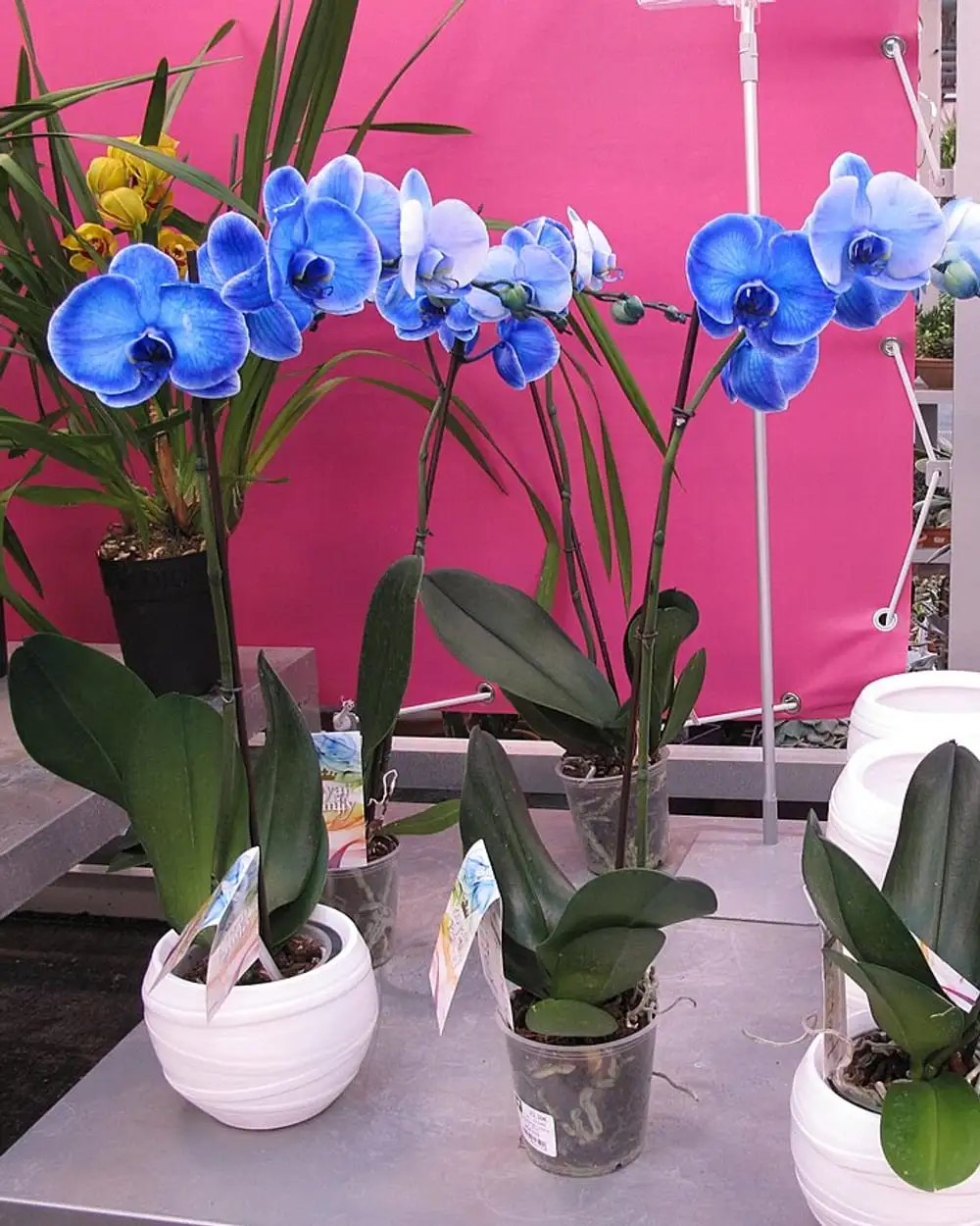
Tangopaso. Blue-dyed orchids in white pots.
License: Public domain. Source: Wikimedia Commons.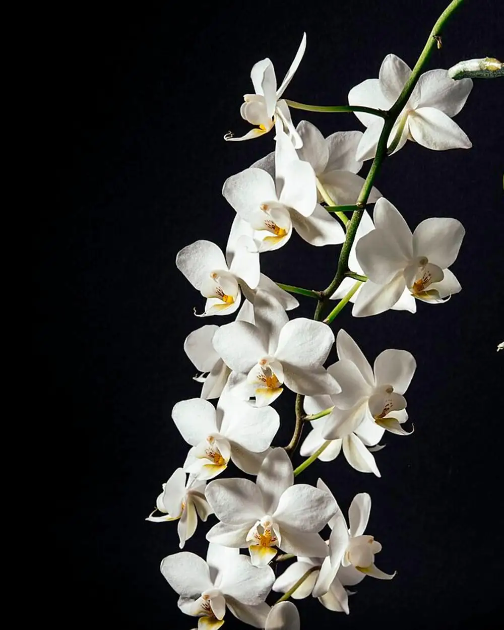
Kai Oberhäuser. White orchids on a black background.
License: CC0 1.0. Source: Wikimedia Commons, originally on Unsplash.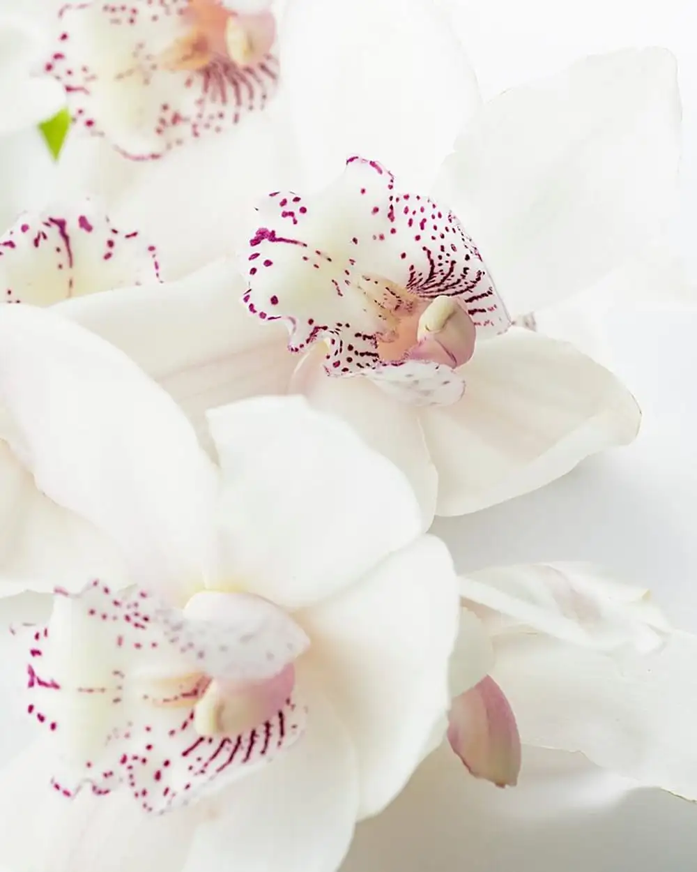
Joanna Kosinska. White orchid blooms.
License: CC0 1.0. Source: Wikimedia Commons, originally on Unsplash.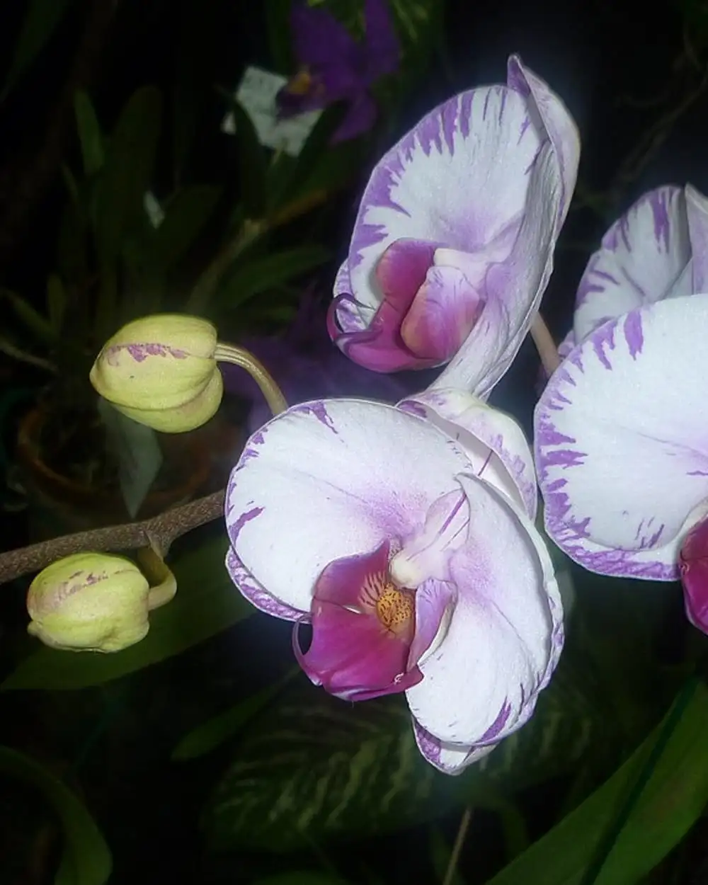
Felix González. White and purple orchids.
License: CC0 1.0. Source: Wikimedia Commons.
Hydrangeas
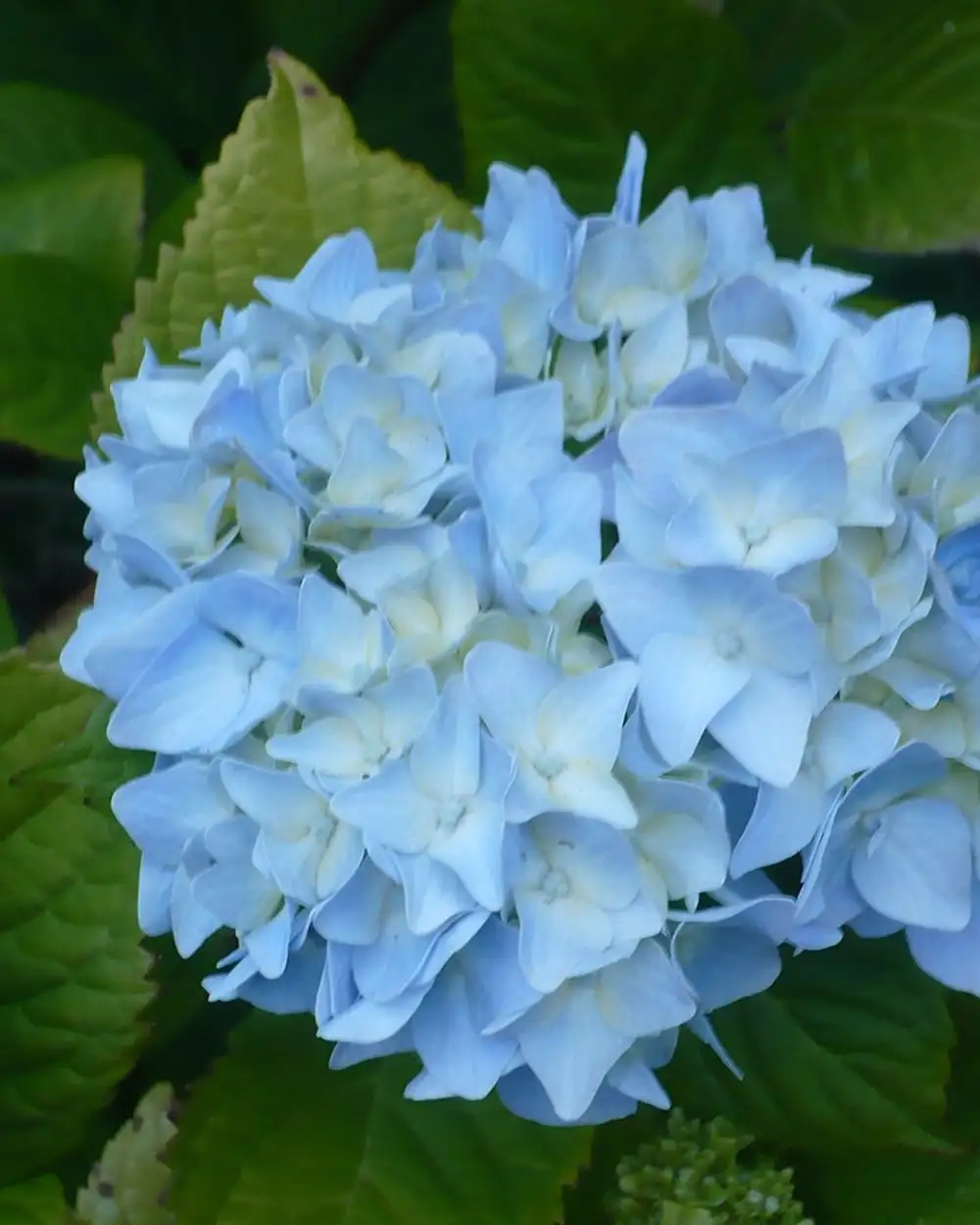
Ellin Beltz. Light blue hydrangea.
License: Public domain. Source: Wikimedia Commons.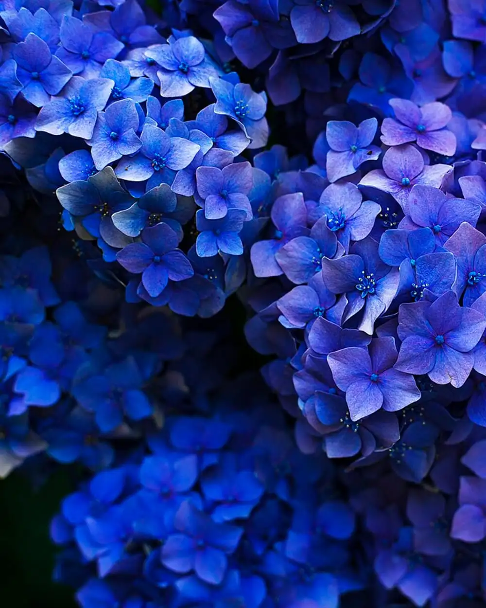
Gaetano Cessati. Deep blue hydrangeas.
License: CC0 1.0. Source: Wikimedia Commons, originally on Unsplash.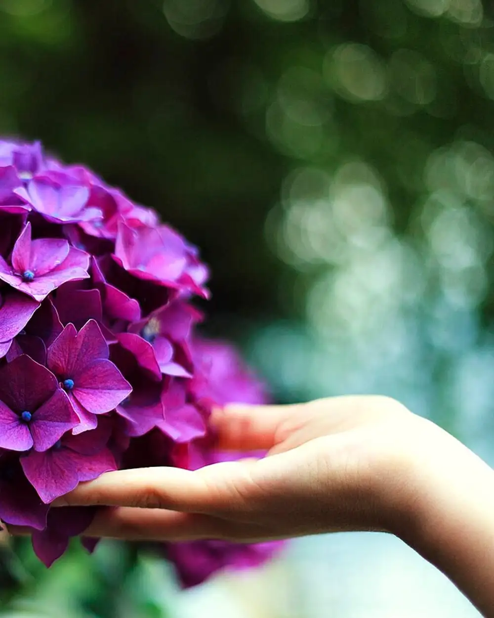
Gaetano Cessati. A hand touching a purple hydrangea.
License: CC0 1.0. Source: Wikimedia Commons, originally on Unsplash.
Mixed bouquets
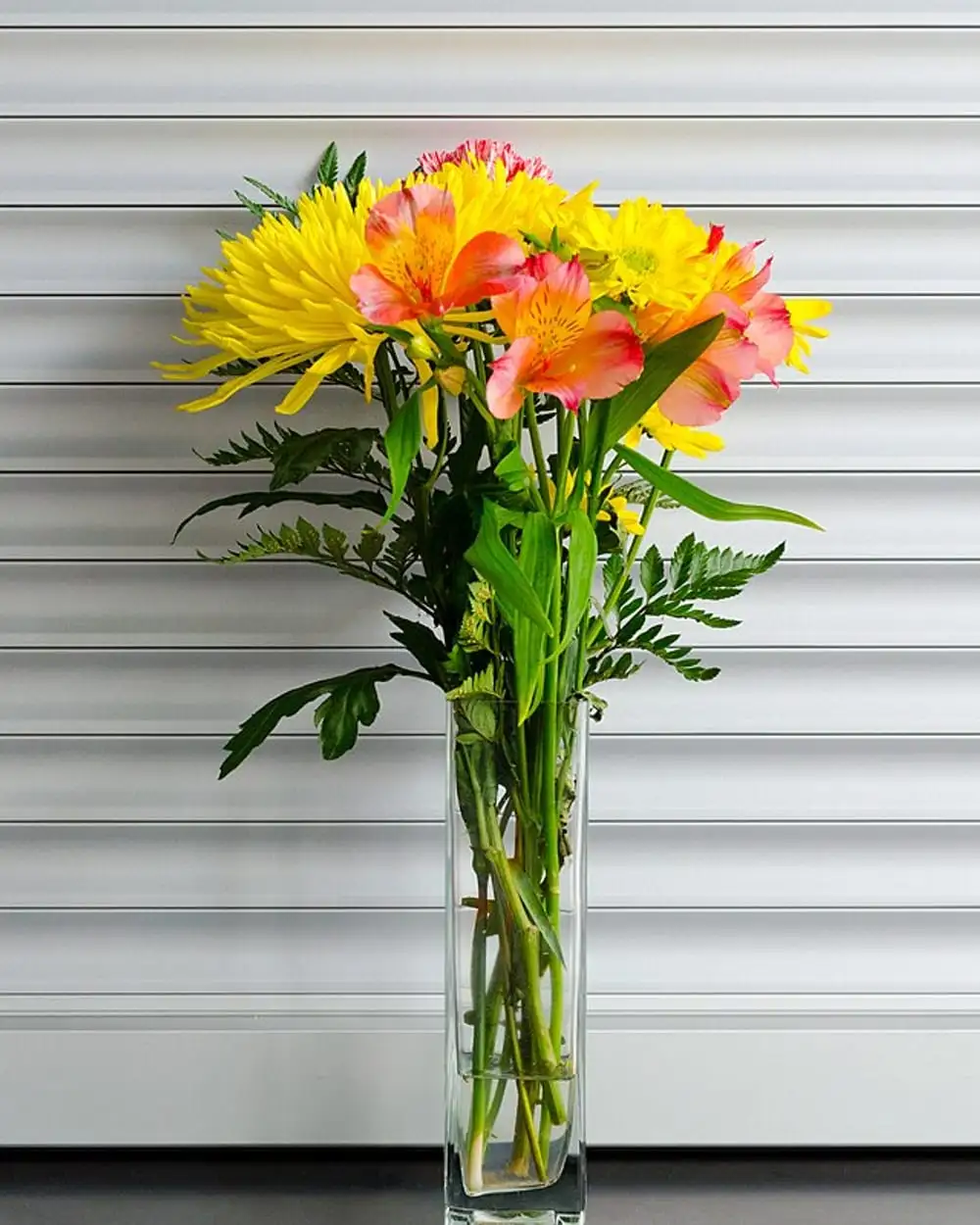
Math. Yellow mums and peach alstroemeria in a glass vase.
License: CC0 1.0. Source: Wikimedia Commons, originally on Unsplash.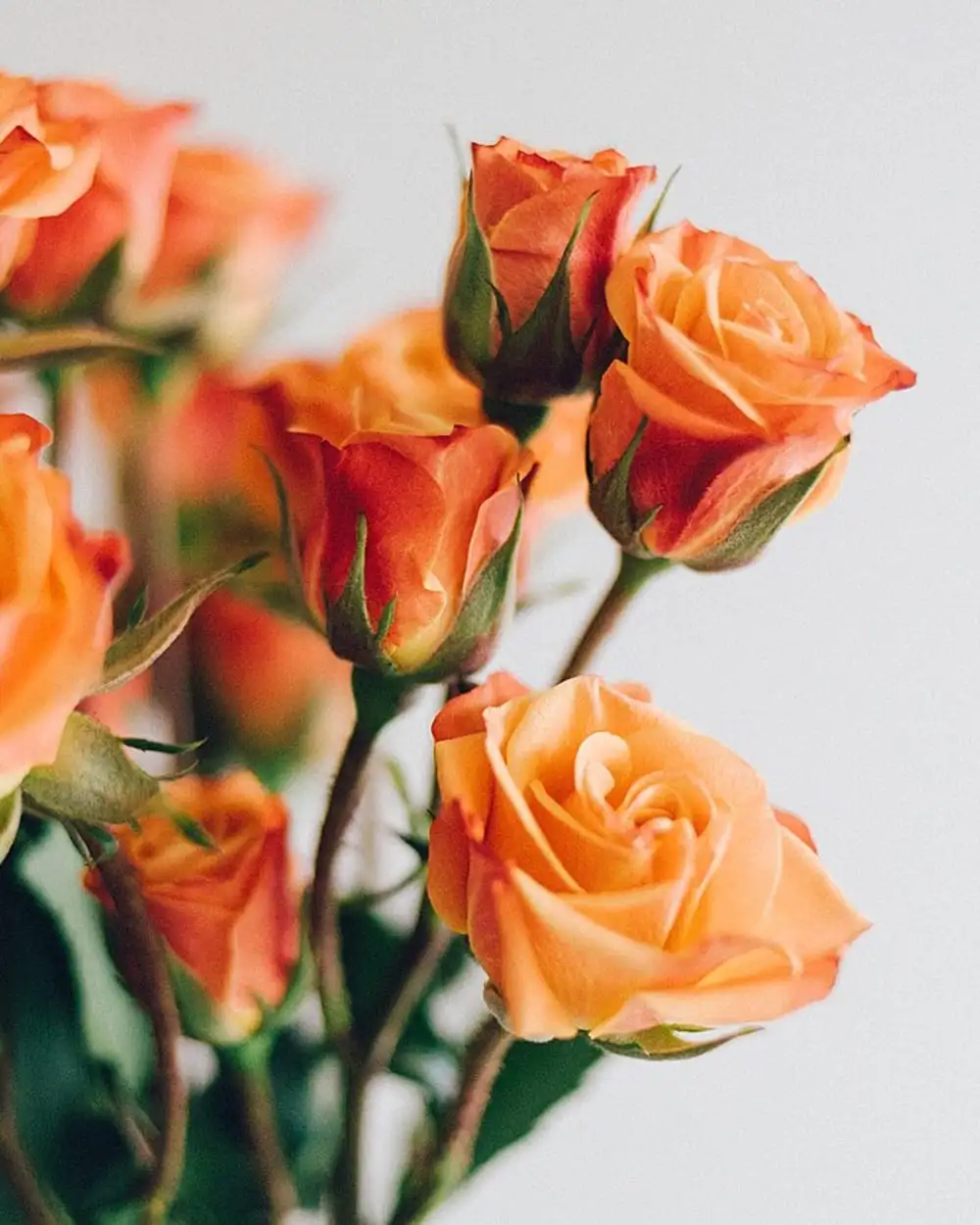
Melinda Pack. A bouquet of orange roses.
License: CC0 1.0. Source: Wikimedia Commons, originally on Unsplash.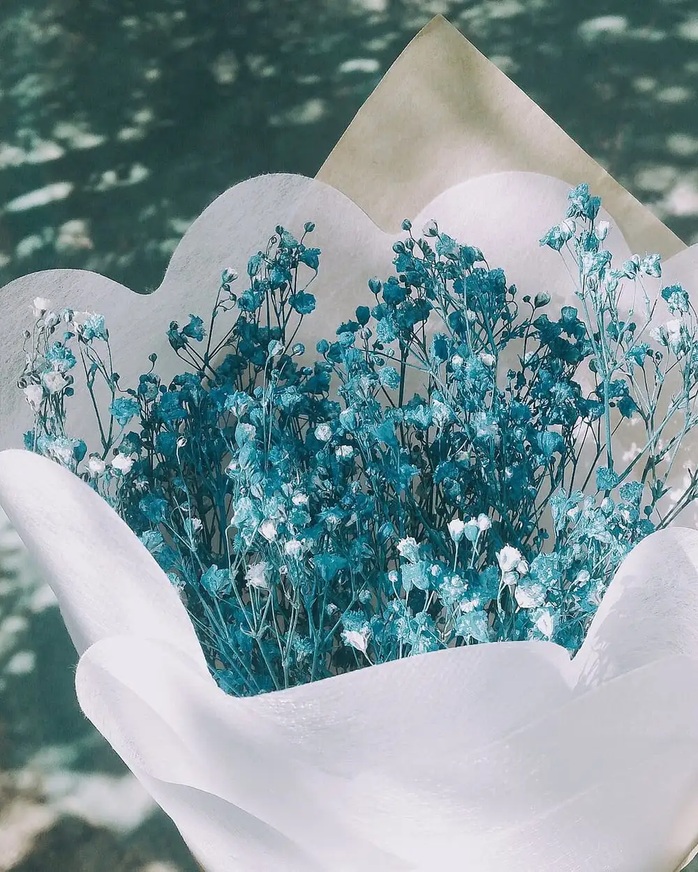
chun myeon. Blue flowers wrapped in white paper.
License: CC0 1.0. Source: Wikimedia Commons, originally on Unsplash.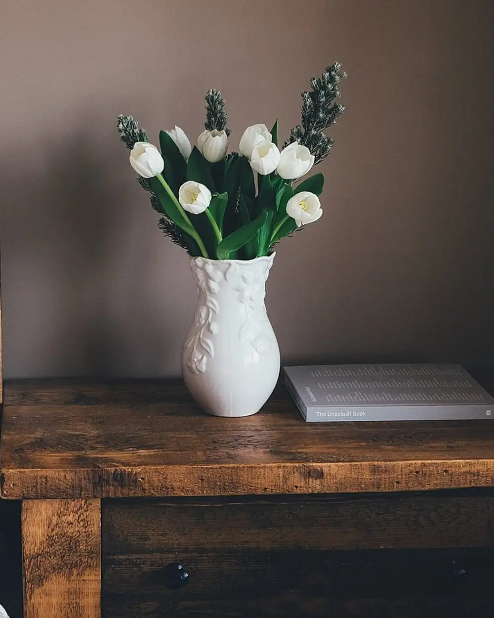
Annie Spratt. White flowers in a white vase.
License: CC0 1.0. Source: Wikimedia Commons, originally on Unsplash.
Page and occasion photos
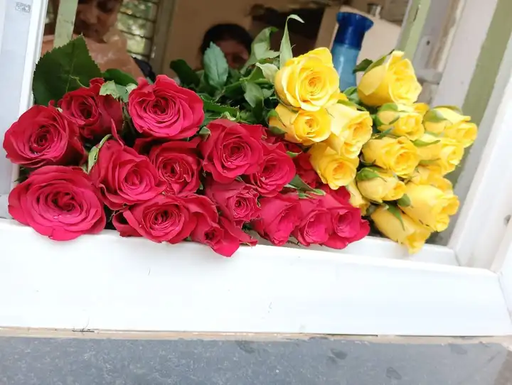
Karthika Manikandan. A bouquet of red and yellow roses.
License: CC0 1.0. Source: Wikimedia Commons.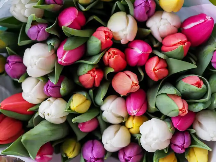
Gábor Juhász. A bouquet of pink, white, red and purple tulips.
License: CC0 1.0. Source: Wikimedia Commons, originally on Unsplash.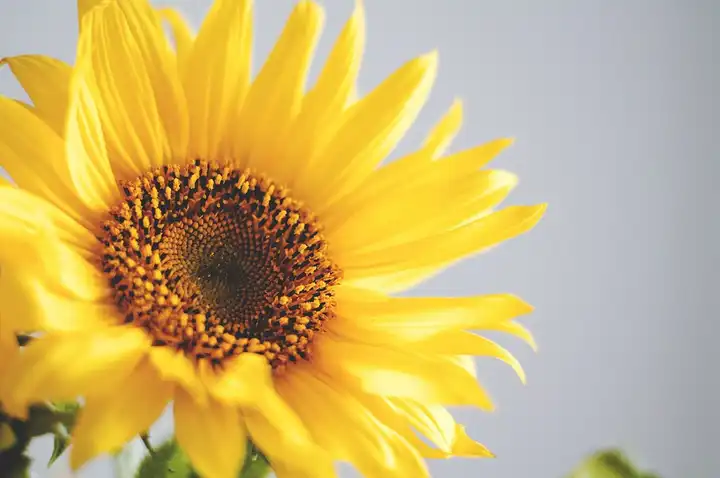
Olia Gozha. A bright yellow sunflower.
License: CC0 1.0. Source: Wikimedia Commons, originally on Unsplash.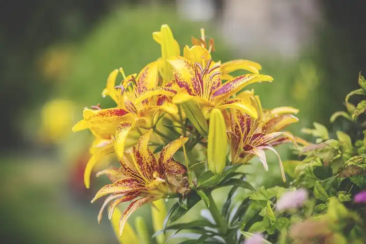
Troy Jarrell. Yellow and orange lilies in bloom.
License: CC0 1.0. Source: Wikimedia Commons, originally on Unsplash.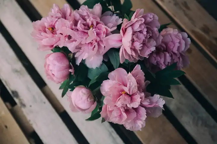
Alisa Anton. Pink peonies on a wooden table.
License: CC0 1.0. Source: Wikimedia Commons, originally on Unsplash.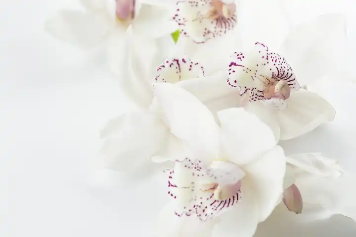
Joanna Kosinska. White orchid blooms.
License: CC0 1.0. Source: Wikimedia Commons, originally on Unsplash.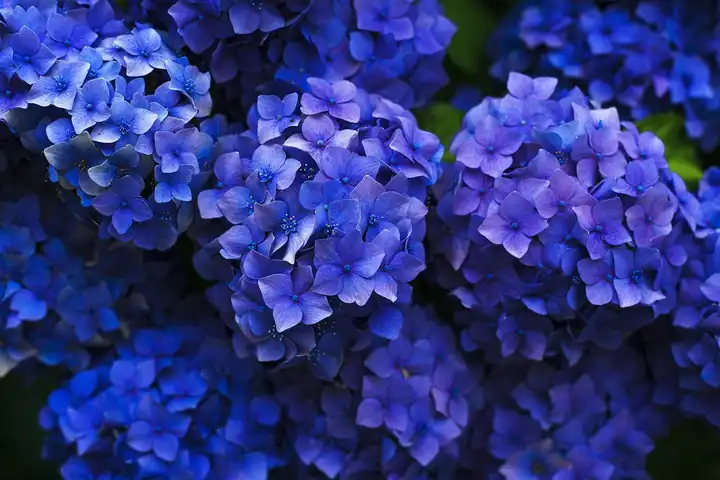
Gaetano Cessati. Deep blue hydrangea flowers.
License: CC0 1.0. Source: Wikimedia Commons, originally on Unsplash.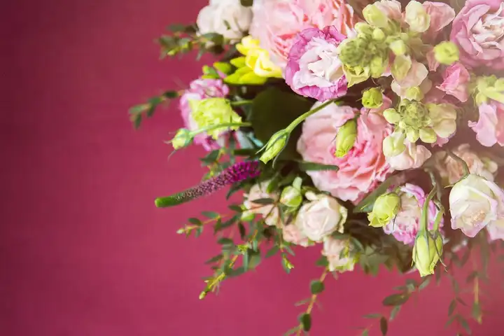
Mira Bozhko. A pink and white mixed bouquet.
License: CC0 1.0. Source: Wikimedia Commons.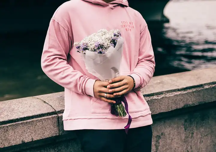
Clem Onojeghuo. A person in a pink sweater holding a small bouquet.
License: CC0 1.0. Source: Wikimedia Commons, originally on Unsplash.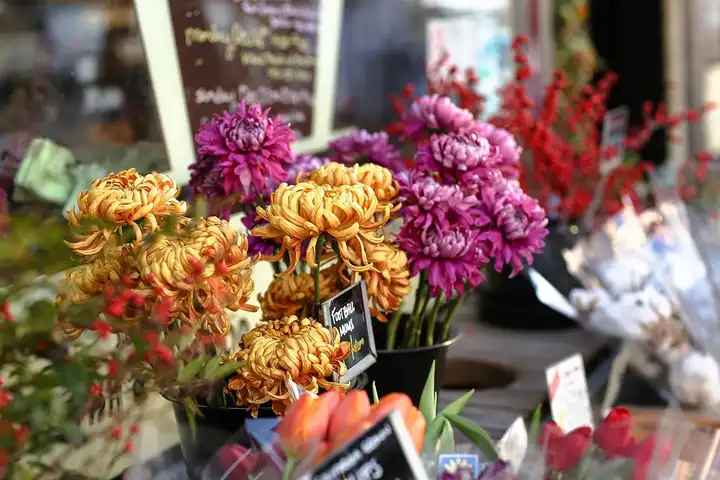
Erol Ahmed. Colorful bunches of flowers for sale outside a shop.
License: CC0 1.0. Source: Wikimedia Commons, originally on Unsplash.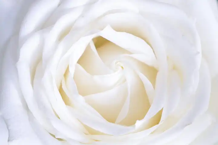
Galina N. A single white rose in soft light.
License: CC0 1.0. Source: Wikimedia Commons, originally on Unsplash.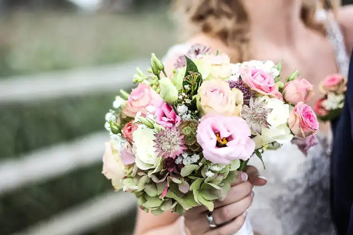
Tamara Menzi. A bride holding a pastel bridal bouquet.
License: CC0 1.0. Source: Wikimedia Commons, originally on Unsplash.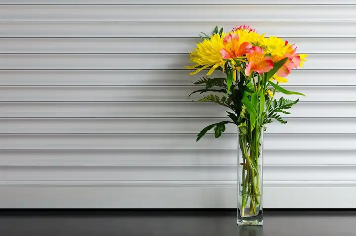
Math (builtbymath). A cheerful mixed bouquet in a glass vase.
License: CC0 1.0. Source: Wikimedia Commons, originally on Unsplash.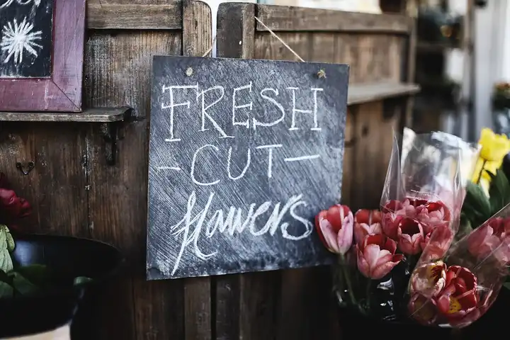
Ksenia Makagonova. Buckets of fresh roses outside a flower shop with a "Fresh cut flowers" sign.
License: CC0 1.0. Source: Wikimedia Commons, originally on Unsplash.
Data credits
Local florist search (Local florists). Everything below runs in your browser, and nothing you type is sent anywhere.
- City boundaries: U.S. Census Bureau, TIGER/Line Shapefiles 2026 (boundaries as of January 1, 2026): places (cities, towns, villages, boroughs and census-designated places), and county subdivisions with their own government (towns and townships in CT, ME, MA, MI, MN, NH, NJ, NY, PA, RI, VT and WI, and New York City’s five boroughs). Public domain. We simplify the lines to within about 10 meters. A city search lists shops inside these lines.
- ZIP centers: U.S. Census Bureau, 2026 Gazetteer Files, ZIP Code Tabulation Areas. Public domain. ZIP searches measure from this point. PO-box-only ZIPs have no Census area.
- ZIP postal names: GeoNames postal code data, licensed CC BY 4.0. Used only for the name shown next to a ZIP. A postal name is where mail is addressed, not a city boundary.
- ZIP and city overlap: U.S. Census Bureau, 2020 ZCTA to Place Relationship File. Public domain.
- Florist listings: OpenStreetMap
shop=floristacross the U.S., nodes, ways and multipolygon relations, built intosrc/data/osm-florists.jsonbyscripts/refresh-osm.mjsfrom Geofabrik U.S. state extracts (or the Overpass API) and served with removals and corrections applied. © OpenStreetMap contributors, ODbL. - Maps: © OpenStreetMap contributors, ODbL, shown with Leaflet.